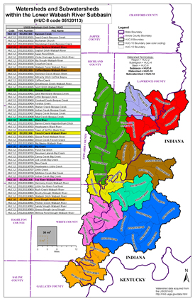
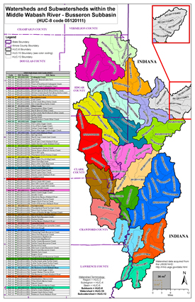
The Wabash is one of the largest free flowing rivers east of the Mississippi River. It flows unimpeded for over 400 miles from the Huntington Dam in Indiana to its confluence with the Ohio. The Wabash does not have commercial navigation. Approximately one-fourth of its drainage comes from Illinois. The Lower and Middle Wabash River has a total drainage of 33,000 square miles of which about two-thirds is agricultural.
LOWER WABASH (HUC 05120113) AND MIDDLE WABASH-BUSSERON (HUC 05120111) WATERSHEDS
The Wabash River originates near Fort Recovery, Ohio. It flows southwest for 500 miles through Indiana and forms the boundary between Indiana and Illinois until it meets the Ohio River above Old Shawneetown, Illinois.
Wabash River & Tributaries
Flood Risk Review Meeting
3/17/2023
- Meeting Recording:
 Watch Video (hosted on Illinois Media Space)
 Download MP4 (214 MB)
 Meeting Presentation (PDF)
The information below is for historical reference. The Discovery process for this watershed is complete and the data is considered archival.
Action Discovery Material, May 2015
Discovery Material, July 2011
 Discovery Report for Lower Wabash Watershed (PDF)
 Discovery Report for Middle Wabash Watershed (PDF)
 Discovery Map for Lower Wabash Watershed (PDF)
 Discovery Map for Middle Wabash Watershed (PDF)
 Lower and Middle Wabash Discovery Database (ZIP)
 Discovery Map Data Layers (PDF)
 Discovery Brochure (PDF)


