Destined for DFIRMs
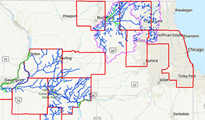
This page provides an overview of ongoing and planned flood hazard mapping efforts across Illinois. It highlights areas where the Illinois State Water Survey's CHAMP team is actively involved in engineering studies or integrating new data into Digital Flood Insurance Rate Maps (DFIRMs).
Training Library
This training library offers a collection of instructional videos and resources developed by the CHAMP team to support floodplain management and mapping efforts in Illinois. Users can access tutorials, download materials, and learn more about technical processes related to flood hazard studies and map revisions.
Topographic Wetness Index
The Topographic Wetness Index (TWI) is a dataset that highlights areas where stormwater runoff may accumulate due to local terrain. This page includes an overview of how TWI is created and how it should be used, along with links to download TWI data for each county in Illinois.
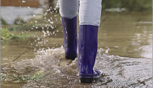
Urban Flooding
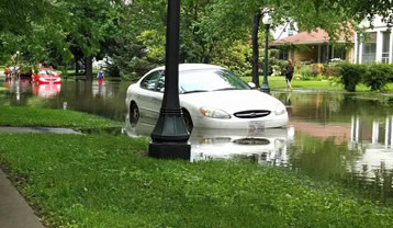
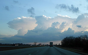
Urban flooding occurs when rainfall overwhelms drainage systems in developed areas, often outside mapped floodplains. This page explores the causes and impacts of urban flooding and describes ongoing efforts to study and mitigate urban flooding in Illinois, including multi-agency collaborations and data-driven tool development.
Story Maps
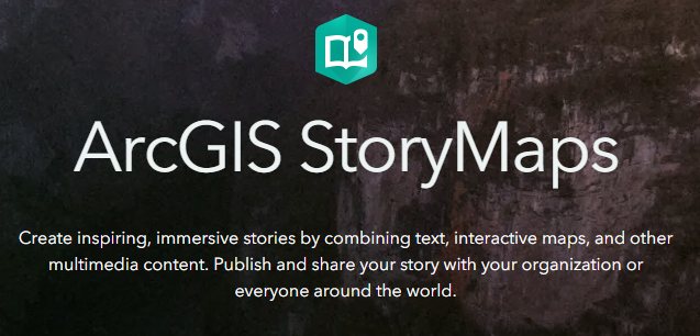
This page features interactive story maps created by CHAMP that document significant flood events across Illinois using photos, rainfall data, and model simulations. These visual narratives help illustrate the impact of flooding and support public understanding of local flood risks and mitigation efforts.
Building Footprints
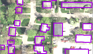
This page provides downloadable building footprint data for every county in Illinois, produced by Microsoft using Bing Maps aerial imagery. LiDAR-based extractions completed by the Illinois State Water Survey are also available for some counties. These datasets support flood risk analysis and planning by outlining the perimeter of structures, helping users visualize exposure to potential flood hazards.
Frequently Asked Questions (FAQ)
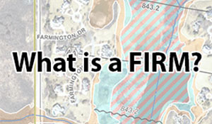
While exploring this website, users may see several unfamiliar terms and acronyms that are specific to FEMA projects and flood risk mapping. This FAQ page includes clear explanations of key terms and processes used throughout these projects, along with helpful links that provide additional information.
Other Resources
This page offers a curated list of external resources to support learning and decision-making around floodplain mapping and flood risk in Illinois. From federal agencies to technical guidance, these links will connect users to valuable tools and information beyond the Illinois Flood Maps website.
Resources
