Flood Risk Assessment
Anyone who has experienced the devastating effects of flooding can tell you that the difference between 2 inches of water and 2 feet of water can mean a long day of cleaning, or being forced to leave the home damaged significantly and seek temporary accommodation. Just knowing where flooding can occur is not enough. Community officials need to know the depth of potential flooding at the property level to make more informed decisions and to aid in mitigation planning.
Technology Solutions for Community and Regional Flood Disaster Planning and Mitigation
The Prairie Research Institute (PRI) and Illinois Department of Natural Resources Office of Water Resources (IDNR), with funding from Illinois Department of Commerce & Economic Opportunity (DCEO), intends to utilize a proven solution that provides accurate and accessible information that can be used to create communities safer from floods. This solution combines detailed flood study data with detailed property survey elevations, and leverages advanced Geographic Information System (GIS) technology to provide potential depth of flood and property-level damage. By using the most detailed information these estimates will provide accurate information about flood depth and risks faced at a property level.
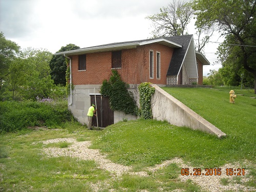
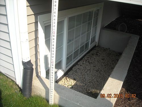
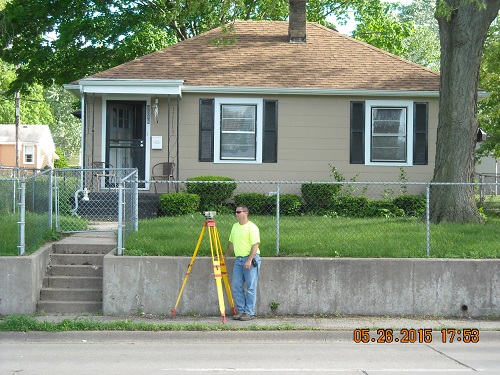
These flood risk assessment methods have previously been conducted in Rockford, Illinois and will expand to assess the flood risk of approximately 3,200 structures in Rock Island County, 1,500 structures in Peoria County, and 120 structures in the City of Ottawa, Illinois. Surveyors will collect the height of the first floor and PRI will determine the depth of flooding and damage for several flood frequencies.
The State of Illinois envisions a statewide database containing building specific flood hazard and flood risk information for structures. This information is needed to strategically prioritize building acquisitions and identify appropriate mitigation options.
The Benefits
- Decision Support - Information on the depth of flood at property level can improve a society's risk-reducing plan and can help local authorities to develop and prioritize alternatives. Anticipated damage and buy-out amounts can be used to quantify cost-of-service and level-of-service for local flood protection programs.
- Regulatory Enforcement - Flood Depth information can be viewed along with claims information to determine potential hot spots of significant damage. Local authorities may use this information to monitor post-disaster repairs, and prevent potential violations of the local floodplain management ordinance.
- Rapid Response Grant - Having depth of flood and information about damage at specific properties will allow local authorities to be opportunistic and effective when pursuing federal dollars. When the grant dollars becomes available, programs can be prepared to apply in a few days, not weeks.
Flood risk assessments can also directly support proposals for mitigation actions by communicating the financial risk associated with flooding and its potential effect on public buildings, utilities, and community infrastructure, thereby helping to justify where the community can take steps to reduce risk and further guard against future financial loss. This data also enables a high level quantification of potential flood losses to the built environment, which helps to justify building restrictions and regulations. The financial benefits of such actions are often more easily communicated and understood using this data than with other datasets.